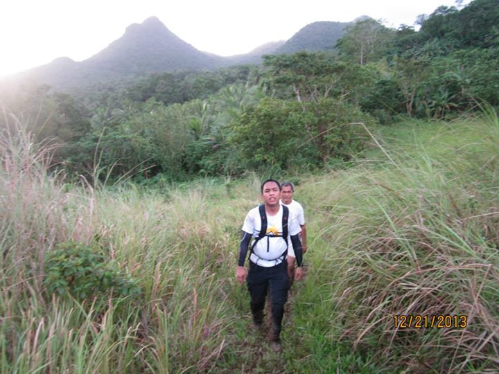
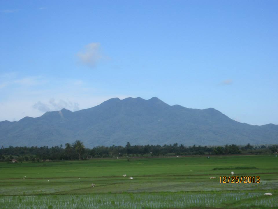
Mt. Bagacay is one of the four major mountain ranges in Camarines Norte. This 778 MASL volcanic edifice is located in the Municipality of Labo. The common hiking destination among local mountaineers in this rough terrain is its Susong-Dalaga peak were spectacular view of the province is waiting to delight the climbers. Assaulting the summit is less popular among hikers due to the absence of well-established trail.
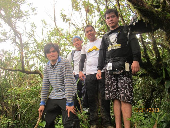 | 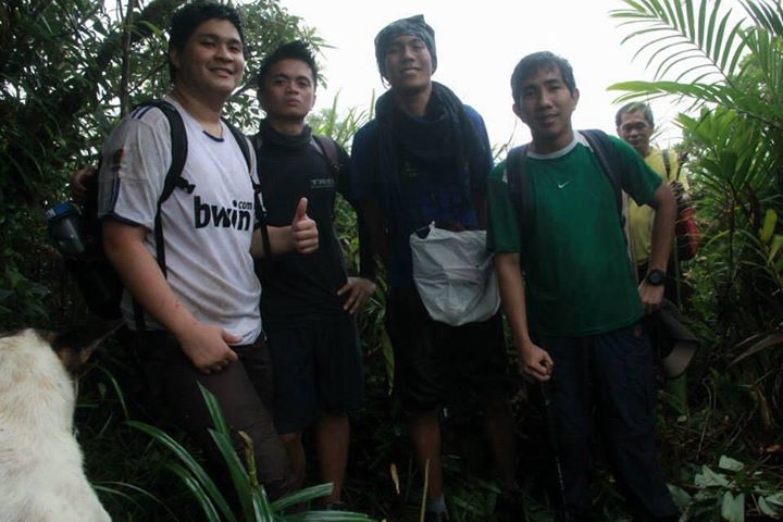 |
THE EXPLORATION TEAMS
In coordination with Rodel Paquita, a news reporter in Cool Radio 100.5, one of the local radio stations in the province, Together with some De La Salle Mountaineering Society (DMS) Alumni, We planned an exploration climb to establish a trail to its highest peak on November 13, 2013 and eventually a follow up hike on December 21, 2013 to at least attempt to connect the trail to the Susong-Dalaga peak and to determine possible campsites which could be suggested to future climbers.
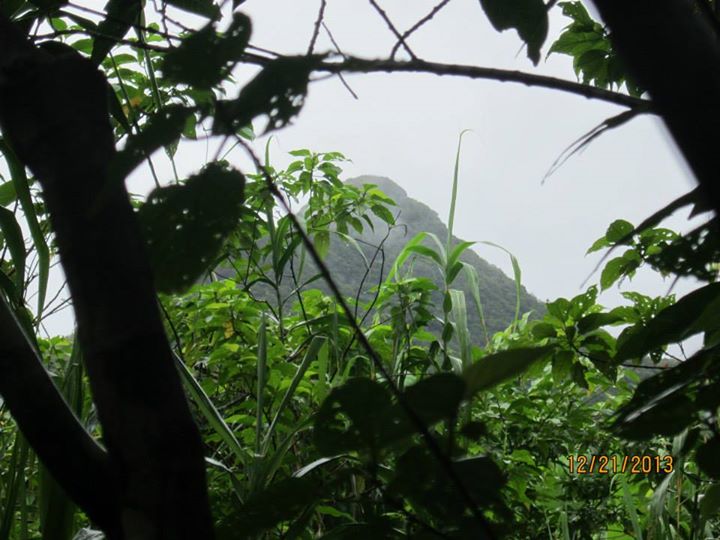
THE SUSONG-DALAGA PEAK COULD BE SEEN ALONG THE NEWLY ESTABLISHED TRAIL TO THE SUMMIT
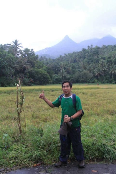
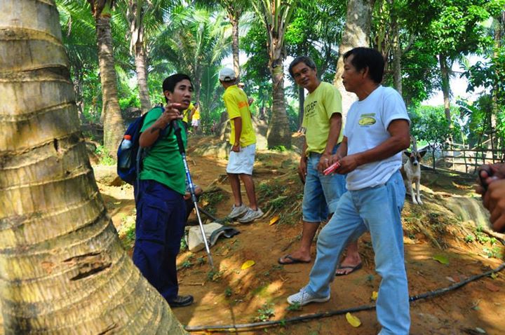
On November 12, 2013; we left Alabang at around 9:00 PM via Philtranco Bus and arrived in Talisay, Camarines Norte; my hometown at around 4:30 AM of the next day. We rest for a while and woke up at 8:00 AM. After enjoying our breakfast, we left our house at 9:00 and arrived in Labo, Camarines Norte at 9:30 PM where we were fetched by Rodel’s group together with Mr. Yoyoy Pandi, from Municipal Tourism Office of the town. We then proceeded to Barangay Fundado where we will start the trekking.
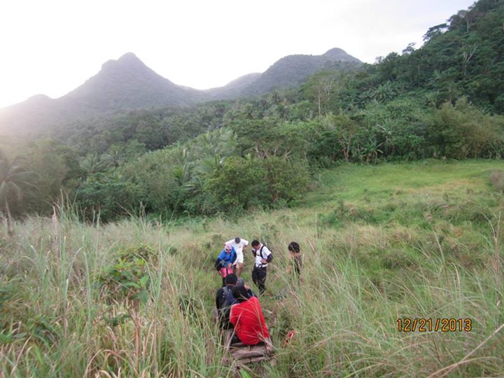
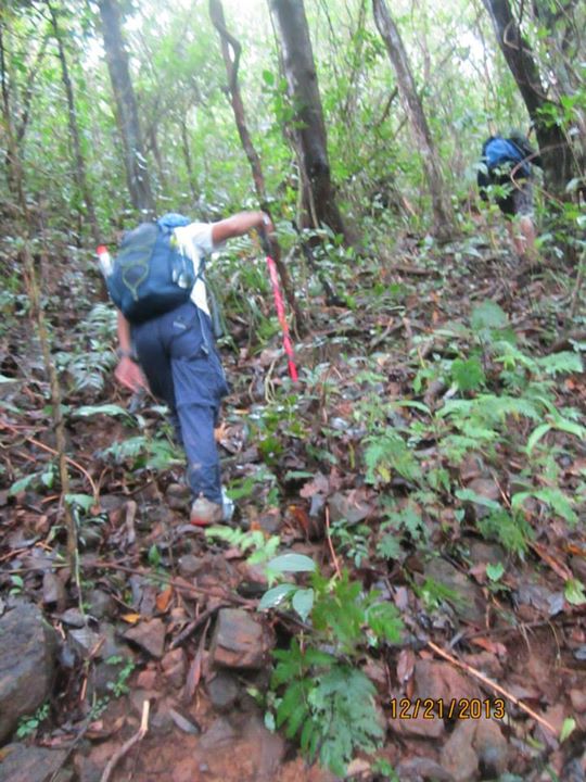
We arrived at the jump off at around 10:00 AM and after a brief 15-minute discussion with our plans and intentions to our guide, we started to trek using the existing Paquita Trail (trail that is being used by Paquita brothers in going to their upland vegetable plantation), and reached “Mando’s Shoulder”, a large flat area suitable for camping at around 250 MASL similar to the Sugad Plaza of Mt. Malinao at 11:00 AM. Although there are some short steep assault, the trail up to is generally manageable and easy. After passing through Mando’s shoulder, we pushed further and passed to some possible water sources and reached the “Dasma Point”, a smaller flat area which is likewise a very suitable camping ground at 11:30 AM. We rested in Dasma point and enjoyed our lunch while planning for the “great left turn”, the process of establishing an access trail to the mountain’s highest point. We termed it as “great left turn” because we are about to create a left turn fork from the current hunter trail which ends in a kaingin area few hundred meters from Dasma Point.
We arrived at the jump off at around 10:00 AM and after a brief 15-minute discussion with our plans and intentions to our guide, we started to trek using the existing Paquita Trail (trail that is being used by Paquita brothers in going to their upland vegetable plantation), and reached “Mando’s Shoulder”, a large flat area suitable for camping at around 250 MASL similar to the Sugad Plaza of Mt. Malinao at 11:00 AM. Although there are some short steep assault, the trail up to is generally manageable and easy. After passing through Mando’s shoulder, we pushed further and passed to some possible water sources and reached the “Dasma Point”, a smaller flat area which is likewise a very suitable camping ground at 11:30 AM. We rested in Dasma point and enjoyed our lunch while planning for the “great left turn”, the process of establishing an access trail to the mountain’s highest point. We termed it as “great left turn” because we are about to create a left turn fork from the current hunter trail which ends in a kaingin area few hundred meters from Dasma Point.
 |  |
 |  |
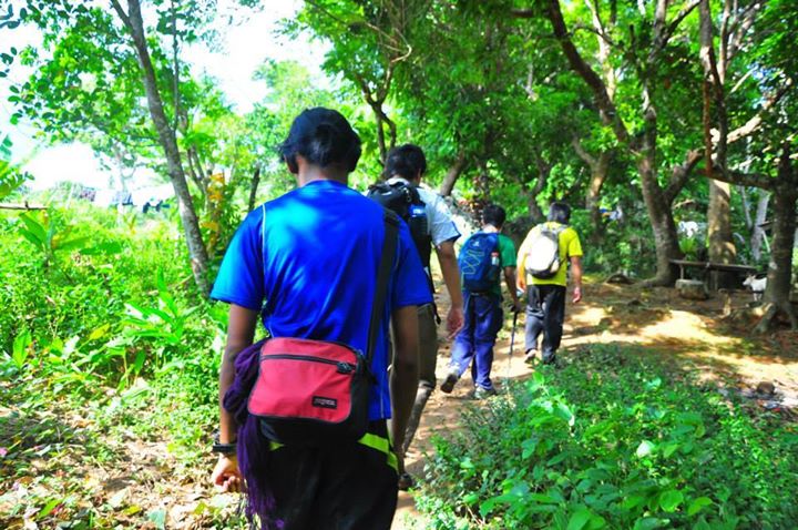
THE INITIAL PARTS OF THE TRAIL
 MANDO'S SHOULDER, A POSSIBLE CAMP SITE | 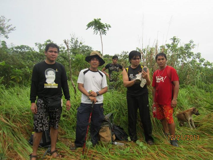 DASMA POINT, ANOTHER POSSIBLE CAMP SITE |
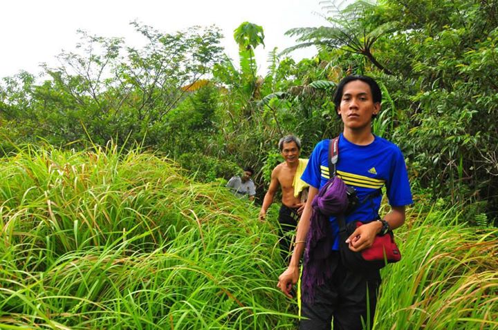
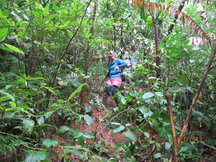
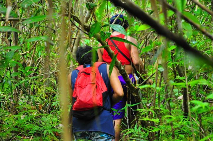
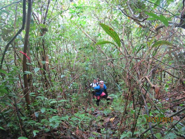
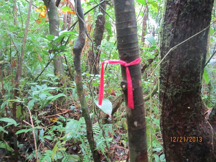
After our lunch, we continued trekking to the hunter trail, and by using direct visual assessment on the position of the highest peak, we decided to do the great left turn. We started to create a trail and marked it with red ribbons. We traverse through dense vegetation for two hours until we reached a minor peak which we named “Lukban’s Peak”, in honor of one of the explorer’s idol, Gen. Lukban, the Hero of Balangiga who was born in Labo, Camarines Norte. Our movement was slow due to heavy rain, very steep slope condition, and the process of creating a narrow trail is time consuming. We rest for a while at “Lukban’s Peak”, then descend for few meters and start the actual assault to the highest peak. We passed through rocky area with dense shrubs and small trees for another thirty minutes. When we reached the grassy steep slope with protruding large rocks, we assumed that the summit was just few meters above our location. After thirty minutes of clearing through the cogon grass, we reached the peak! We tried to look for possible camp site but the topographic situation will not permit a camping site on top unless the thick concentration of trees would be cleared (which should never be an option). We were sure that on sunny days, there could be good view in some directions from the peak because there are only few obstructions. We decided to end the exploration at this point because of further worsening weather condition. After resting at the peak, we decided to descend using the red ribbon markers that we placed and the narrow clearing that we did as a guaranteed directional guide. We reached Dasma Point after an hour and eventually reached the Paquita’s compound after an hour and thirty minutes. We were able to complete the first phase of exploration at 7:00 PM. We neatened ourselves and immediately proceed to our residence in Talisay.
 |  |
 |  |
 |  |
 |  |
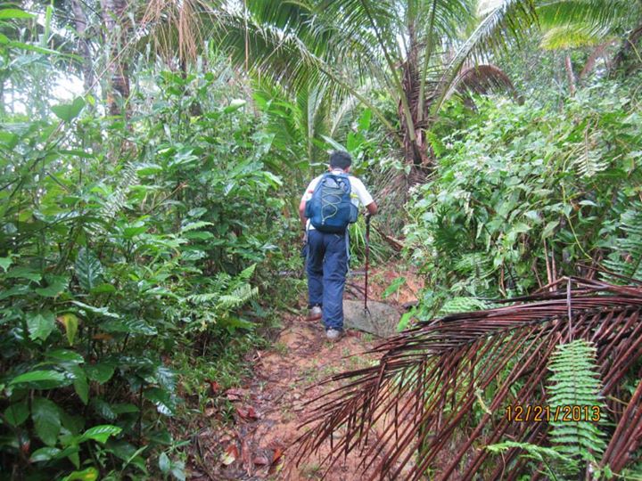
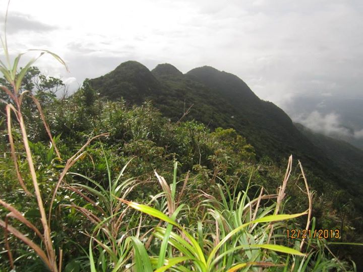
THE EXPLORED TRAIL TO THE SUMMIT
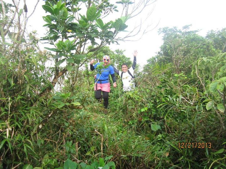
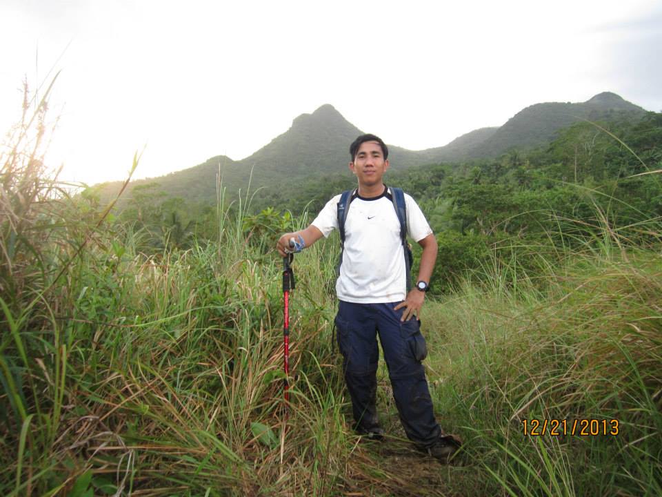
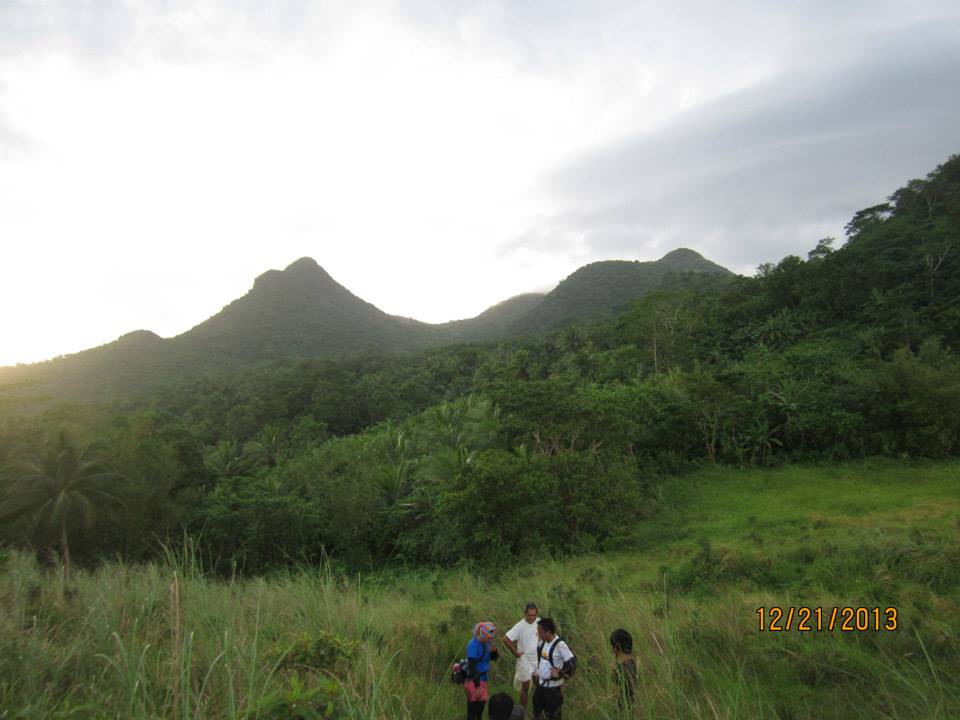
On December 20, 2013; we once again schedule a follow up exploration climb. This time, with my fellow DLSU-D Faculty Members Jhelyn and William; we arrived in Camarines Norte after 9-hour drive from Dasmariñas City. Our intention this time is to further established the trail; and validate if we really reached the highest peak during our previous climb; to identify the ‘continuous’ water sources along the trail; and to at least talk to the locals and barangay officials on their possible system of accepting hikers and protecting the hiking destination from ‘social media mountaineer trashes’. We arrived at the Barangay Fundado at 9:00 AM and started the trekking along Paquita Trail at 9:30 AM. This time, the weather is better compared to our previous climb. We arrived at Mando’s Shoulder after an hour and eventually reached Dasma Point, where we found a nearby water sources (few yards from the site) after another thirty minutes. We further pushed and turned left to the new trail that we established. This time, we reached Lukban’s Peak after one and a half hours. We then rested and took our lunch within the vicinity of that peak. And proceed to the final summit assault which took another hour. This time, there is a good view of the plains of Camarines Norte, portions of the towns of Paracale and Panganiban as well as the beautiful Calaguas Group of Islands. The view was very spectacular… to the point that some of our guides were shouting out of their voice to express delight and joy! We then explore the summit and found out that there is another higher point, around 5 meters above the highest point that we reached in during our previous climb. This time, with complete visibility, we were able to verify the highest point, in our altimeter, it was 778 MASL! We tried to assess the possibility of starting to create a trail that would connect the peak to the popular Susong-Dalaga Peak but we decided to reschedule another exploration climb because of we observed thick rain cloud formation in the horizon that was about to blanket the mountain.
 |  |
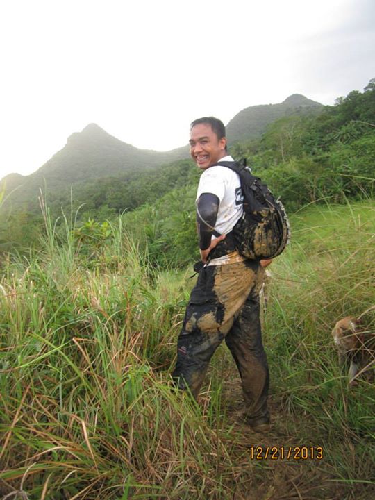
Heavy rain poured on our way down up to Mando’s Shoulder. We are literally coated with mud. My shoes surrendered to the thick mud! I walked towards the jump off for an hour wearing only socks! We arrived at the jump off at around 6:00 PM, totally satisfied, delighted and amazed by the beauty of the mountain.
 |  |
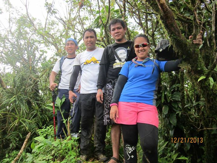 |  |
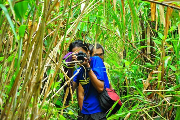
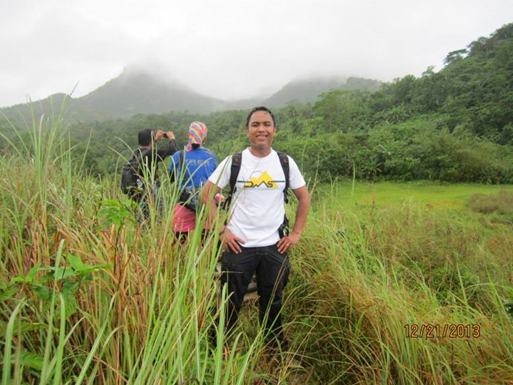
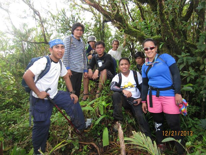
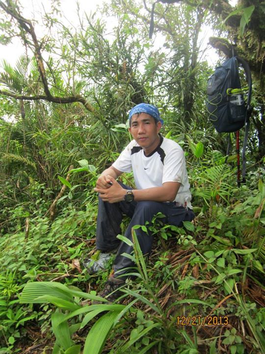
MORE PHOTOS OF THE EXPLORATION!
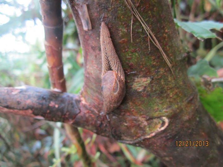
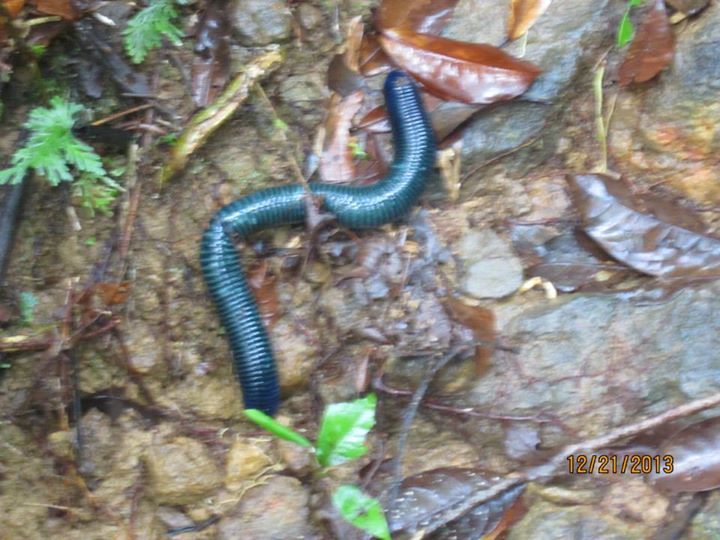
During our two climbs, we observed a lot of large blue worms, some pink large worms as well, three types of endemic frog, a lot of birds, snails, footprints of endemic deer, two types of lizards and an eagle! We also observed various types of flowering wild plants, pitcher plants and orchids.
For sure, this mountain would be a great hiking destination in the future. We shall go back to establish the trail that will cut through the steepest part of the mountain soon and connect the highest peak to the Susong-Dalaga peak.
For sure, this mountain would be a great hiking destination in the future. We shall go back to establish the trail that will cut through the steepest part of the mountain soon and connect the highest peak to the Susong-Dalaga peak.
 |  |
 RSS Feed
